Tannington, Nr Framlingham
- Land size
- 2.25 acres
- Bedrooms
- 4
- Bathrooms
- 2
Description
Front hall, kitchen/breakfast room, sitting/dining room, rear hall, downstairs shower room, utility room, and conservatory. Four first floor bedrooms and bathroom. Grounds, predominantly laid to grass, with off-road parking, garage, office and stores, along with a Suffolk timber framed barn. In all extending to 2.25 acres.
Location
Bridge farm is situated within the parish of Tannington but actually abuts the Hamlet of Saxtead Little Green. The property is located in a particularly pleasant standalone position adjacent to farmland. The village of Saxtead benefits from a pub, the Old Mill House and the distinctive Post Mill which is open to the public through English Heritage.
The market town of Framlingham (3 miles) is well known for its impressive medieval castle. It is home to a selection of independent shops and businesses including cafes, restaurants, hairdressers, antique shops, travel agents and a delicatessen. It is also home to The Crown Hotel and a Co-Op supermarket. There are also twice weekly markets. Off the Market Hill are a number of other businesses providing day to day services including pubs, vets, a medical centre and schools. Sir Robert Hitcham’s Primary School is highly regarded, as is Thomas Mills High School. There is also Framlingham College, which is served by its prep-school in Brandeston, some five miles away.
The Suffolk Heritage Coast, Woodbridge and Ipswich are all within short drives offering the concert hall at Snape Maltings, RSPB Minsmere with beaches at Southwold, Walberswick, Thorpeness and Aldeburgh. Ipswich is about sixteen miles to the south-west and here there are direct trains to London’s Liverpool Street station scheduled to take just over an hour.
Directions
From Framlingham, proceed towards Saxtead. At the T-junction opposite Saxtead Post Mill, turn right and then immediately left towards Saxtead Little Green. Having entered Saxtead Little Green proceed out of the village and bear to the right where Bridge Farm will be found a short way along on the left hand side. What3Words: /// insurance.extensive.repeats
Description
The dwelling, which is believed to be a mixture of brick and timber frame construction with rendered elevations under a tiled roof, is understood not to be Listed. An incoming buyer is likely to carry out a full modernisation and refurbishment programme. It benefits from UPVC double glazed windows throughout and an oil-fired central heating system. It also has a sewage treatment plant.
The front door opens into an entrance hall which has doors off to the sitting/dining room and the kitchen/breakfast room. The sitting/dining room is double aspect and generous in size. It features an open fireplace. The kitchen/breakfast room has windows to the front and side of the property. There are basic high and low-level wall units with an inset double bowl stainless steel sink, four ring electric hob and an integrated double height electric oven. From the rear hallway is access to the conservatory which is of UPVC construction and has door to the rear garden. The utility room has a window and has matching high and low-level wall cabinets along with space and plumbing for a washing machine. Also on the ground floor is a shower room with WC, handwash basin and shower.
Stairs rise to the first floor landing where there are doors to the four bedrooms. Bedroom one is a double with window to the front. It has fitted wardrobes along a built-in cupboard. Bedroom two is a further double with window to the front of the property and fitted wardrobes on one wall. Through an archway, there is an alcove with shelving which also has a hatch to the loft space. The third bedroom is a double with fitted wardrobes and high and low-level cupboards. Bedroom four is a single with a window to the side of the property fitted wardrobes. The bathroom has a bath, WC, bidet and handwash basin. There is an airing cupboard off the landing which houses the hot water cylinder and has slatted shelving.
The grounds extend to 2.25 acres. These include an impressive Suffolk Barn that is of timber construction under a pantile roof. The main body of the barn measures 53’ x 19’ plus 19’ x 18’ and lean-to. Adjacent to the substantial parking area next to the house is a single garage of brick construction under a tiled roof. It has an up and over door to the front and measures 18’ x 9’9. At the rear is a door to an office that measures 14’10 x 9’10. This has electric heating, a window to one side and a personnel door to the garden. Also adjacent to the parking area are brick built stores that were previously used as kennels and could house a small pony. The building is divided into two sections being 10’6 x 8’6 and 8’2 x 8’7. The gardens surround the house and are predominantly laid to grass and also include mature trees as well as a former area of agricultural land
Viewing Strictly by appointment with the agent.
Services Bridge Farm - Mains water and electricity. Oil-fired central heating. Sewage treatment plant.
Broadband To check the broadband coverage available in the area click this link –
Mobile Phones To check the mobile phone coverage in the area click this link –
EPC Rating = E (Copy available from the agents upon request).
Council Tax Band F; £3,201.50 payable per annum 2026/2027
Local Authority Mid Suffolk District Council, Endeavour House, 8 Russell Rd, Ipswich IP1 2BX; Tel:
NOTES
1.Every care has been taken with the preparation of these particulars, but complete accuracy cannot be guaranteed. If there is any point, which is of particular importance to you, please obtain professional confirmation. Alternatively, we will be pleased to check the information for you. These Particulars do not constitute a contract or part of a contract. All measurements quoted are approximate. The Fixtures, Fittings & Appliances have not been tested and therefore no guarantee can be given that they are in working order. Photographs are reproduced for general information and it cannot be inferred that any item shown is included. No guarantee can be given that any planning permission or listed building consent or building regulations have been applied for or approved. The agents have not been made aware of any covenants or restrictions that may impact the property, unless stated otherwise. Any site plans used in the particulars are indicative only and buyers should rely on the Land Registry/transfer plan.
2. The Money Laundering, Terrorist Financing and Transfer of Funds (Information on the Payer) Regulations 2017 require all Estate Agents to obtain sellers’ and buyers’ identity.
3. There is spray insulation in the loft. Some mortgage companies will not lend with this in situ and interested parties should check with their mortgage company/broker prior to offering.
4. The boundary has been pegged. No further land is available from the vendor. The buyer will be responsible for any fencing.
September 2026
Map Location
Property details
- Tenure
- Freehold
- Council Tax Band
- F
- Date Posted
- 2026-09-23
Market Value Analysis
Compared with 1,159 Homes with Land listings in East Anglia (1+ acres).
Utilities & Restrictions
Utilities
- Electricity
- Mains
- Water
- Mains
- Heating
- Oil Heating
- Broadband
- Ask Agent
- Sewerage
- Septic Tank / Private
Rights & Restrictions
- Public Rights of Way
- Ask Agent
- Private Rights of Way
- Ask Agent
- Listed Property
- Ask Agent
- Restrictions
- Ask Agent
Listed status, conservation areas and planning constraints for this location are in the full report.
Property Features
- Accessibility
- Ask Agent
- Parking
- Garage, Driveway, Off-Street Parking
- Garden
- Private Garden
Beyond the particulars: planning activity, flood history, heritage and ground risks, checked for this exact spot.
Connectivity
Broadband
Fastest speed available at this postcode
78 Mbps
Superfast
Suitable for
- HD streaming
- Video calls
- Web & social
Mobile signal
Predicted 4G and 5G signal; indoor signal depends on building materials.
Ofcom Connected Nations postcode-level predictions. Speeds and signal are modelled, not measured, and vary between addresses and providers.
Signal is the easy part. Planning activity, flood history and protected designations here are in the full report.
Nearest Schools
Primary
- Bedfield Church of England Primary School1.7 milesOfsted: Good *
- Ages
- 4 to 11
- Pupils
- 18
- Type
- Academy converter
- Faith
- Church of England
- Earl Soham Community Primary School1.9 milesOfsted: Good
- Ages
- 4 to 11
- Pupils
- 78
- Type
- Community school
- Dennington Church of England Primary School2.2 milesOfsted: Good
- Ages
- 4 to 11
- Pupils
- 66
- Type
- Academy converter
- Faith
- Church of England
- Worlingworth Church of England primary school2.3 milesNo Ofsted rating
- Ages
- 3 to 11
- Pupils
- 58
- Type
- Academy converter
- Faith
- Church of England
- Framlingham Sir Robert Hitcham's Church of England Voluntary Aided Primary School2.6 milesOfsted: Good
- Ages
- 3 to 11
- Pupils
- 311
- Type
- Voluntary aided school
- Faith
- Church of England
Secondary
- Thomas Mills High School & Sixth Form2 milesOfsted: Good
- Ages
- 11 to 18
- Pupils
- 1,056
- Type
- Academy converter
- Stradbroke High School4.8 milesNo Ofsted rating
- Ages
- 11 to 16
- Pupils
- 353
- Type
- Academy converter
- Debenham High School5.4 milesOfsted: Good
- Ages
- 11 to 16
- Pupils
- 714
- Type
- Academy converter
- Faith
- Church of England
- Hartismere School8.5 milesOfsted: Good *
- Ages
- 11 to 18
- Pupils
- 1,062
- Type
- Academy converter
- Farlingaye High School10 milesOfsted report card · May 2026
- Ages
- 11 to 18
- Pupils
- 1,861
- Type
- Academy converter
* Latest graded judgement covers quality of education only; no overall grade was issued under the 2024-25 inspection framework.
Distances are straight-line from the advertised location. Source: the national school registers (DfE, Welsh Government, Scottish Government) and Ofsted.
Schools are just the start: sold prices nearby, planning activity and any flood history are in the full report.
Amenities
Supermarket
GP surgery
Pharmacy
Hospital
Straight-line distances from the advertised location. Sources: NHS records, Geolytix supermarket locations, OS Open Greenspace and the national trails registers.
The area stacks up? Now check the location itself: planning nearby, protected designations and past flooding.
Getting Around
Nearest station
Nearest bus stop
Typical drive times
Straight-line distances from the advertised location; drive times are typical free-flow times over OpenStreetMap road data, so allow more at peak. Public transport locations from DfT NaPTAN.
Easy to reach matters. So do planning activity, flood history and ground risks: all in the full report.
Flood Risk
Environment Agency open data, checked around the advertised map pin for the listed acreage. Long-term risk counts flood defences; the planning map's flood zones do not. Provided by LandSale, not the listing agent, and not part of the agent's particulars. Risk varies across a holding, so verify before committing.
Rivers and the sea
Planning map: Flood Zone 1.
Surface water
Not at the pin: mapped about 10 metres away.
These bandings are the summary. Where this location sits on the flood maps, plus planning activity, heritage and ground risks, is in the full report.
Important notice: Information, maps and tags on this page are drawn from the advertising agent's marketing materials or generated automatically. LandSale has not verified them. Relying on these details is at your own risk, always carry out independent checks before committing to a purchase.
LandSale full disclaimer
Marketing information only - not formal particulars. The details on this website are provided for general guidance and do not constitute an offer or contract. Neither LandSale nor the advertising estate/land agent accepts responsibility for any inaccuracy.
1. Source of information
- Listing content: Core description, asking price, tenure, measurements, photographs and planning history originate from the marketing materials of the advertising estate or land agent. LandSale does not author this content and cannot guarantee its accuracy.
- Automated tags & categorisation: Property type, land-use class, acreage bands and similar labels may be applied by machine-learning models. They are intended as a helpful guide only and may not reflect the property's legal status or permitted use.
- Third-party & enriched data layers: Maps, boundary outlines, planning designations, soil reports, broadband coverage and other environmental or location-based insights are licensed from external suppliers. Such data are supplied “as is", may be incomplete or out of date and are subject to change without notice.
2. Verification required
Prospective purchasers must verify critical matters, including but not limited to planning permission, title boundaries, public rights of way, environmental constraints, acreage, services, access and VAT status, through their own inspections, specialist surveys, legal advisers and the selling agent before relying on the information or entering into any contract.
3. No warranty or liability
LandSale gives no warranty, express or implied, as to the accuracy, completeness or fitness for any particular purpose of the information displayed. LandSale shall not be liable for any loss, damage, cost or expense arising directly or indirectly from any use of or reliance on such information, save where liability may not be excluded by law.
4. Updates & feedback
If you believe any detail on this listing is inaccurate, please let us know. We will investigate and, where appropriate, update the listing or notify the agent.
© LandSale | Version 1.3 - August 2026
Listing agent
Clarke and Simpson, Framlingham
Well Close Square, Framlingham, IP13 9DU
Similar properties for sale
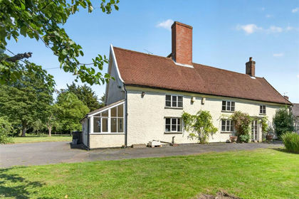
- Price
- Guide Price£695,000
- Size
- 1.25 acres
Framlingham, Woodbridge, Suffolk, IP13, Framlingham, Suffolk IP13 England
Added on 10/09/2026House with Land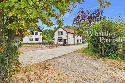
- Price
- Guide Price£650,000
- Size
- 2.96 acres
Added on 27/08/2026House with Land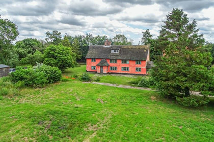
- Price
- Guide Price£675,000
- Size
- 2.8 acres
Added on 29/01/2026Farmhouse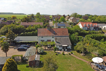
- Price
- Guide Price£715,000
- Size
- 3.14 acres
Parham, Nr Framlingham, Suffolk, Parham, Suffolk IP13 England
Added on 31/05/2026House with Land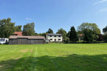
- Price
- Guide Price£650,000
- Size
- 6.5 acres
Easton, Near Framlingham, Suffolk, Easton, Suffolk IP13 England
Added on 29/01/2026House with Land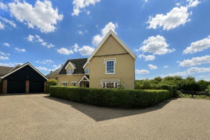
- Price
- Offers Over£685,000
- Size
- 1.3 acres
The Paddocks, Stradbroke, Eye, Stradbroke, Suffolk IP21 England
Added on 03/08/2026House with Land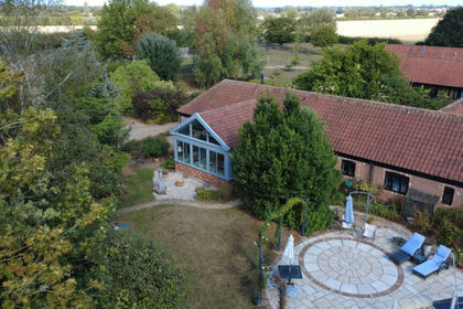
- Price
- Guide Price£775,000
- Size
- 1.62 acres
Pixey Green, Fressingfield, Suffolk, Fressingfield, Suffolk IP21 England
Added on 07/05/2026House with Land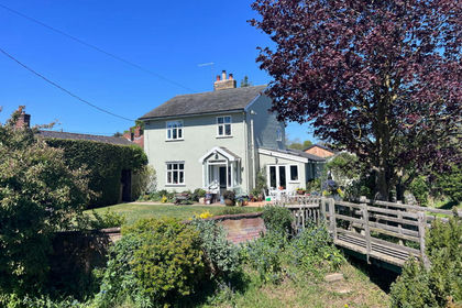
- Price
- Offers Over£600,000
- Size
- 3 acres
Added on 18/04/2026Cottage
- Price
- Offers Over£695,000
- Size
- 3.56 acres
Stonham Aspal, Nr Stowmarket, Suffolk, Stonham Aspal, Suffolk IP14 England
Added on 30/05/2026Farmhouse
- Price
- Guide Price£650,000
- Size
- 2.04 acres
Added on 02/09/2026House with Land