Coldbridge Lane, Egerton, Ashford
- Land size
- 1.1 acres
- Bedrooms
- 4
- Bathrooms
- 4
Key Features
- Superb 1.1 acre plot in a beautiful countryside location with stunning views & holiday let potential
- Stunning detached bungalow extending to 3584 Sq Ft. No onward chain
- Spacious kitchen/dining room, 2 reception rooms & conservatory
- 4 double bedrooms, all with en-suites
- Detached double garage & beautiful, established gardens
- Approximately 10.5 miles from Ashford town centre & 10 miles from Maidstone
- 1.5 miles to Egerton C of E primary school with a good Ofsted rating
- Within 7 miles of the popular Sutton Valence Independent School
- Just a 10 minute drive to Headcorn with it's local shopping amenities & the station with half hourly trains to London Charing Cross
- High speed trains to London St Pancras via Ashford International
Description
Property Description: Guide Price £850,000 - £900,000. Nestled within the idyllic Kent countryside, this exceptional detached bungalow presents a rare opportunity to acquire a substantial family home with an impressive 1.1 acre plot. Extending internally to a generous 3584 square foot, this property has a blend of spacious living, breathtaking views, and significant holiday let potential.
Upon entering, you are immediately struck by the sense of space and light that permeates this stunning residence. The heart of the home is undoubtedly the expansive kitchen/dining room, a perfect hub for family life and entertaining. This well appointed space flows seamlessly, providing ample room for both culinary creativity and convivial dining. Complementing this are two distinct reception rooms, providing versatile spaces for relaxation, formal gatherings, or a quiet retreat. A delightful conservatory further enhances the living accommodation, providing a bright and airy space to enjoy the surrounding gardens and far reaching views throughout the seasons.
This superb bungalow has four generously proportioned double bedrooms, each benefiting from its own private en-suite bathroom. This thoughtful design ensures ultimate comfort and privacy for all residents and guests, making it an ideal setup for a large family or multi generational living.
Outside: This wonderful plot extends to just over an acre surrounded by stunning countryside. The bungalow has extensive formal gardens to the front and rear which are predominantly laid to lawn. There is a lovely patio/seating area with a beautiful well; perfect for entertaining family and friends with some alfresco dining in the summer months or to simply sit back and absorb the peace and tranquility of this spectacular outside space. There is a large driveway approached via a five bar gate providing secure parking for multiple cars and a double garage with power and light connected. The boundary is marked with a variety of mature trees which offer immense privacy and seclusion as well as superb habitat for garden birds. The boundary of the property is surrounded by a spring fed chalk stream.
Location: Egerton is a picturesque village and civil parish located approximately 9 miles north of Ashford and stretches 3 miles south into a lower plain towards the West Stour. The village has a church, a garage, a primary school and a popular pub/restaurant serving fine food and local ales. The award winning Millennium Hall hosts various events throughout the year for local residents. There is a farmers market every Friday where they have a butchers, a fishmongers, dairy including cheeses, a deli, local honey, homemade jams and chutneys, fruit and veg, a bakery, animal feeds and accessories including jewellery, crafts and books. The nearby villages of Pluckley, Lenham & Headcorn have further shops, restaurants and train stations with connections to London Victoria, Charing Cross or London St Pancras International via Ashford International.
Directions: SatNav = / What3Words = What3words://smooth.trickles.ground
Council Tax: Band E (correct at time of marketing). To check council tax for this property, please refer to the local authority website.
Local Authority: Ashford Borough Council . Kent County Council .
Services: Oil fired central heating. Private drainage via septic tank. Mains water and electricity. For broadband and mobile coverage, we advise you check your providers website or refer to an online checker.
Tenure: This property is freehold and is sold with vacant possession upon completion.
Disclaimer: Sandersons and their clients state that these details are for general guidance only and accuracy cannot be guaranteed. They do not form any part of any contract. All measurements are approximate, and floor plans are for general indication only and are not measured accurate drawings. No guarantees are given with any mentioned planning permission or fitness for purpose. No appliances, equipment, fixture or fitting has been tested by us and items shown in photographs are not necessarily included. Buyers must satisfy themselves on all matters by inspection or through the conveyancing process.
Identity verification: Please note, Sandersons UK are obligated by law to undertake Anti Money Laundering (AML) Regulations checks on any purchaser who has an offer accepted on a property. We are required to use a specialist third party service to verify your identity. The cost of these checks is £60 inc.VAT per property and accepted offer. This is payable at the point an offer is accepted and our purchaser information form is completed, prior to issuing Memorandum of Sales to both parties respective conveyancing solicitors. This is a legal requirement and the charge is non-refundable.
Disclaimer: Please note the image with the boundary line is for indicative purposes only and will be need to be confirmed via Land Registry during the conveyancing process.
Additional Property Notes: The property is of traditional construction and has had no adaptions for accessibility. There is detached double garage next to the property.
Register for new listings before the portal launch
Map Location
Property details
- Tenure
- Freehold
- Council Tax Band
- E
- Date Posted
- 2026-06-28
Market Value Analysis
Compared with 1,755 Homes with Land listings in South East England (1+ acres).
Energy Performance Certificate
Energy Efficiency Rating
Based on UK Energy Performance Certificate standards (EU Directive 2002/91/EC)
Running costs are one side. Planning activity, flood history and ground risks for this location are in the full report.
Utilities & Restrictions
Utilities
- Electricity
- Mains
- Water
- Mains
- Heating
- Oil Heating
- Broadband
- Ask Agent
- Sewerage
- Septic Tank / Private
Rights & Restrictions
- Public Rights of Way
- Ask Agent
- Private Rights of Way
- Ask Agent
- Listed Property
- Ask Agent
- Restrictions
- Ask Agent
Listed status, conservation areas and planning constraints for this location are in the full report.
Property Features
- Accessibility
- Ask Agent
- Parking
- Garage
- Garden
- Rear Garden
Beyond the particulars: planning activity, flood history, heritage and ground risks, checked for this exact spot.
Connectivity
Broadband
Fastest speed available at this postcode
30 Mbps
Superfast · available to 20% of premises
Suitable for
- HD streaming
- Video calls
- Web & social
Fixed wireless access may also be an option here.
Mobile signal
Predicted 4G and 5G signal; indoor signal depends on building materials.
Ofcom Connected Nations postcode-level predictions. Speeds and signal are modelled, not measured, and vary between addresses and providers.
Signal is the easy part. Planning activity, flood history and protected designations here are in the full report.
Nearest Schools
Primary
- Egerton Church of England Primary School1.3 milesOfsted: Good
- Ages
- 4 to 11
- Pupils
- 197
- Type
- Voluntary controlled school
- Faith
- Church of England
- Platts Heath Primary School1.7 milesOfsted: Good
- Ages
- 4 to 11
- Pupils
- 61
- Type
- Community school
- Ulcombe Church of England Primary School2.5 milesNo Ofsted rating
- Ages
- 4 to 11
- Pupils
- 54
- Type
- Voluntary controlled school
- Faith
- Church of England
- Lenham Primary School2.7 milesOfsted: Good
- Ages
- 4 to 11
- Pupils
- 204
- Type
- Community school
- Pluckley Church of England Primary School2.9 milesNo Ofsted rating
- Ages
- 3 to 11
- Pupils
- 82
- Type
- Academy converter
- Faith
- Church of England
Secondary
- The Lenham School2.8 milesOfsted: Good
- Ages
- 11 to 18
- Pupils
- 820
- Type
- Academy sponsor led
- Chilmington Green School7 milesOfsted report card · May 2026
- Ages
- 11 to 19
- Pupils
- 449
- Type
- Free schools
- Highworth Grammar School7.8 milesOfsted: Outstanding *
- Ages
- 11 to 18
- Pupils
- 1,553
- Type
- Academy converter
- Gender
- Girls
- New Line Learning Academy8 milesOfsted: Requires improvement *
- Ages
- 11 to 16
- Pupils
- 826
- Type
- Academy sponsor led
- Cornwallis Academy8.1 milesNo Ofsted rating
- Ages
- 11 to 19
- Pupils
- 1,402
- Type
- Academy sponsor led
* Latest graded judgement covers quality of education only; no overall grade was issued under the 2024-25 inspection framework.
Distances are straight-line from the advertised location. Source: the national school registers (DfE, Welsh Government, Scottish Government) and Ofsted.
Schools are just the start: sold prices nearby, planning activity and any flood history are in the full report.
Amenities
Supermarket
GP surgery
Pharmacy
Hospital
Straight-line distances from the advertised location. Sources: NHS records, Geolytix supermarket locations, OS Open Greenspace and the national trails registers.
The area stacks up? Now check the location itself: planning nearby, protected designations and past flooding.
Getting Around
Nearest station
Nearest bus stop
Typical drive times
Straight-line distances from the advertised location; drive times are typical free-flow times over OpenStreetMap road data, so allow more at peak. Public transport locations from DfT NaPTAN.
Easy to reach matters. So do planning activity, flood history and ground risks: all in the full report.
Flood Risk
Environment Agency open data, checked around the advertised map pin for the listed acreage. Long-term risk counts flood defences; the planning map's flood zones do not. Provided by LandSale, not the listing agent, and not part of the agent's particulars. Risk varies across a holding, so verify before committing.
Rivers and the sea
Planning map: Flood Zone 1.
Surface water
Not at the pin: mapped about 20 metres away.
These bandings are the summary. Where this location sits on the flood maps, plus planning activity, heritage and ground risks, is in the full report.
Important notice: Information, maps and tags on this page are drawn from the advertising agent's marketing materials or generated automatically. LandSale has not verified them. Relying on these details is at your own risk, always carry out independent checks before committing to a purchase.
LandSale full disclaimer
Marketing information only - not formal particulars. The details on this website are provided for general guidance and do not constitute an offer or contract. Neither LandSale nor the advertising estate/land agent accepts responsibility for any inaccuracy.
1. Source of information
- Listing content: Core description, asking price, tenure, measurements, photographs and planning history originate from the marketing materials of the advertising estate or land agent. LandSale does not author this content and cannot guarantee its accuracy.
- Automated tags & categorisation: Property type, land-use class, acreage bands and similar labels may be applied by machine-learning models. They are intended as a helpful guide only and may not reflect the property's legal status or permitted use.
- Third-party & enriched data layers: Maps, boundary outlines, planning designations, soil reports, broadband coverage and other environmental or location-based insights are licensed from external suppliers. Such data are supplied “as is", may be incomplete or out of date and are subject to change without notice.
2. Verification required
Prospective purchasers must verify critical matters, including but not limited to planning permission, title boundaries, public rights of way, environmental constraints, acreage, services, access and VAT status, through their own inspections, specialist surveys, legal advisers and the selling agent before relying on the information or entering into any contract.
3. No warranty or liability
LandSale gives no warranty, express or implied, as to the accuracy, completeness or fitness for any particular purpose of the information displayed. LandSale shall not be liable for any loss, damage, cost or expense arising directly or indirectly from any use of or reliance on such information, save where liability may not be excluded by law.
4. Updates & feedback
If you believe any detail on this listing is inaccurate, please let us know. We will investigate and, where appropriate, update the listing or notify the agent.
© LandSale | Version 1.3 - August 2026
Similar properties for sale
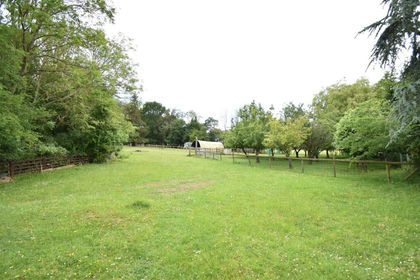
- Price
- £825,000
- Size
- 1.6 acres
Headcorn Road, Grafty Green, ME17, Boughton Malherbe, Kent ME17 England
Added on 12/06/2026House with Land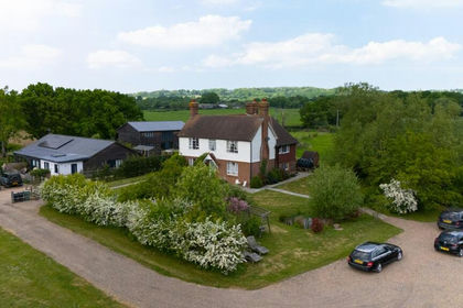
- Price
- Guide Price£900,000
- Size
- 5 acres
Lenham Road, Headcorn, TN27, Boughton Malherbe, Kent ME17 England
Added on 02/05/2026House with Land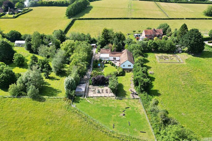
- Price
- Offers in Region of£899,000
- Size
- 1 acres
Added on 26/06/2026House with Land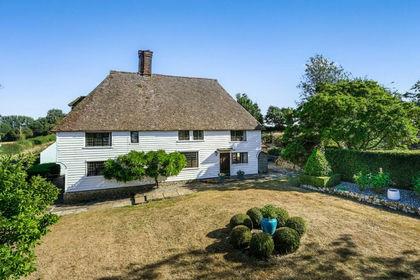
- Price
- Guide Price£995,000
- Size
- 2.5 acres
Iden Lane, Egerton, Ashford, Kent, TN27, Egerton, Kent TN27 England
Added on 09/08/2026Country Home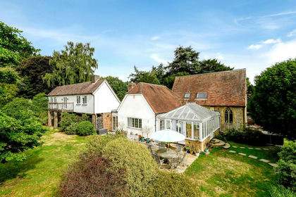
- Price
- £925,000
- Size
- 1.77 acres
Church Hill, Charing Heath, Ashford, Kent, TN27, Charing, Kent TN27 England
Added on 20/09/2026House with Land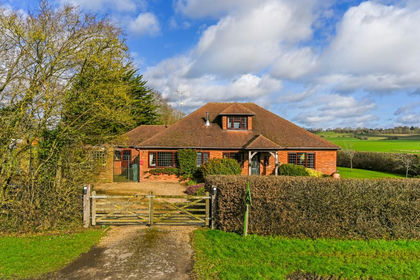
- Price
- £1,020,000
- Size
- 4.05 acres
The Pinnock, Pluckley, Ashford, Kent, TN27, Pluckley, Kent TN27 England
Added on 02/03/2026House with Land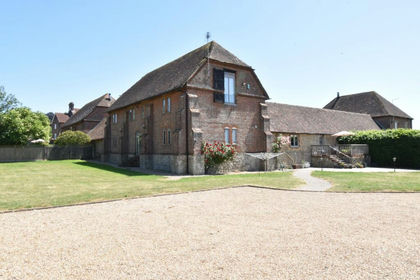
- Price
- Guide Price£1,000,000
- Size
- 0.5 acres
Old Ham Lane, Lenham, Maidstone, ME17, Lenham, Kent ME17 England
Added on 01/04/2026Barn Conversion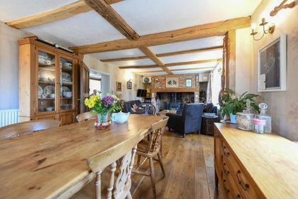
- Price
- £875,000
- Size
- 3.17 acres
Added on 28/01/2026House with Land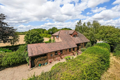
- Price
- Offers Over£900,000
- Size
- 1.47 acres
Added on 09/08/2026House with Land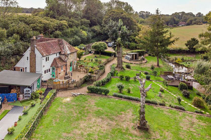
- Price
- Offers in Excess of£850,000
- Size
- 1.6 acres
Fairbourne Lane, Harrietsham, Maidstone, Harrietsham, Kent ME17 England
Added on 23/09/2026Cottage